๐’๐ฉ๐š๐ญ๐ข๐š๐ฅ ๐ƒ๐š๐ญ๐š ๐€๐ง๐š๐ฅ๐ฒ๐ฌ๐ข๐ฌ ๐ฐ๐ข๐ญ๐ก ๐†๐ˆ๐’ ๐š๐ง๐ ๐‘๐ž๐ฆ๐จ๐ญ๐ž ๐’๐ž๐ง๐ฌ๐ข๐ง๐ 

๐’๐ฉ๐š๐ญ๐ข๐š๐ฅ ๐ƒ๐š๐ญ๐š ๐€๐ง๐š๐ฅ๐ฒ๐ฌ๐ข๐ฌ ๐ฐ๐ข๐ญ๐ก ๐†๐ˆ๐’ ๐š๐ง๐ ๐‘๐ž๐ฆ๐จ๐ญ๐ž ๐’๐ž๐ง๐ฌ๐ข๐ง๐ 

  • Teacher
    Ram Sharma
  • Category
    ๐๐ฅ๐š๐ง๐ง๐ข๐ง๐ , ๐ƒ๐ž๐ฌ๐ข๐ ๐ง & ๐Œ๐š๐ง๐š๐ ๐ž๐ฆ๐ž๐ง๐ญ ๐จ๐Ÿ ๐‘๐ฎ๐ซ๐š๐ฅ & ๐”๐ซ๐›๐š๐ง ๐–๐š๐ญ๐ž๐ซ ๐’๐ฎ๐ฉ๐ฉ๐ฅ๐ฒ ๐๐ž๐ญ๐ฐ๐จ๐ซ๐ค, ๐’๐ญ๐จ๐ซ๐ฆ ๐–๐š๐ญ๐ž๐ซ & ๐ƒ๐ซ๐š๐ข๐ง๐š๐ ๐ž ๐’๐ฒ๐ฌ๐ญ๐ž๐ฆ ๐ข๐ง ๐๐ž๐ฉ๐š๐ฅ

One Door Solution has been offering a 15-day workshop on Spatial Data Analysis with GIS and Remote Sensing โ€“ A Hands-on Approach for Real-world Projects since early 2017. As of 2025, we have successfully conducted 6+ batches, enabling participants to apply spatial technologies in real-world scenarios through practical, project-based learning.

  • Descriptions
  • Course Content

Course Description

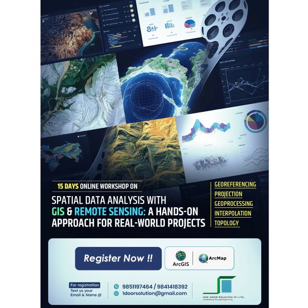
Are you ready to dive into the world of spatial data and enhance your analytical and design skills? Join our comprehensive 15-day online workshop on Spatial Data Analysis with ๐†๐ˆ๐’ ๐š๐ง๐ ๐‘๐ž๐ฆ๐จ๐ญ๐ž ๐’๐ž๐ง๐ฌ๐ข๐ง๐ , specifically crafted to empower professionals and enthusiasts alike.

This workshop will dive into spatial data analysis using industry-standard tools like ArcGIS and ArcMap, alongside advanced techniques like remote sensing, hillshade modeling, and watershed analysis. These skills are essential not only in Nepal but globally, where data-driven solutions are transforming fields such as urban planning, environmental conservation, disaster management, and more. Participants from various sectors such as urban planning, environmental management, disaster management, natural resource management, and more will also find this training incredibly beneficial.

Course Content

๐ŸŒ ๐–๐ก๐š๐ญ ๐˜๐จ๐ฎ’๐ฅ๐ฅ ๐‹๐ž๐š๐ซ๐ง

๐Ÿ’ป ๐ˆ๐ง๐ญ๐ซ๐จ๐๐ฎ๐œ๐ญ๐ข๐จ๐ง ๐ญ๐จ ๐€๐ซ๐œ๐†๐ˆ๐’ & ๐€๐ซ๐œ๐Œ๐š๐ฉ : Master the fundamental tools for comprehensive spatial data design and analysis. Learn how to:

  • Manage, import, and export spatial data
  • ย Perform key spatial analyses like buffer, intersect, and union
  • Create professional-quality maps for decision-making
  • ย ๐‘๐ž๐ฆ๐จ๐ญ๐ž ๐’๐ž๐ง๐ฌ๐ข๐ง๐  : Discover the power of satellite data in real-world applications.
  • ย Learn how to interpret satellite imagery
  • ย Perform hands-on analysis through a case study tailored to practical scenarios
  • ๐‡๐ข๐ฅ๐ฅ๐ฌ๐ก๐š๐๐ž, ๐’๐ฅ๐จ๐ฉ๐ž, ๐š๐ง๐ ๐–๐š๐ญ๐ž๐ซ๐ฌ๐ก๐ž๐ ๐€๐ง๐š๐ฅ๐ฒ๐ฌ๐ข๐ฌ : Explore terrain modeling to gain insights into topography and hydrology:
  • ย Generate hillshades for visualizing landforms
  • ย Analyze slopes and watershed boundaries
  • ๐Ÿ” ๐’๐ž๐œ๐ญ๐จ๐ซ-๐’๐ฉ๐ž๐œ๐ข๐Ÿ๐ข๐œ ๐‚๐š๐ฌ๐ž ๐’๐ญ๐ฎ๐๐ข๐ž๐ฌ : Participants will have the opportunity to focus on real-world projects based on their field of interest:
  • Environmental management
  • ย Agriculture and forestry
  • ย Urban planning
  • ย Infrastructure development

Fees – Online : Rs. 6500 only / Physical : Rs. 11,000 only / Recorded Video = Rs. 3000 only

Reviews

Leave a Reply

Your email address will not be published. Required fields are marked *

Join Now

  • Price:  Rs Online 6500 | Physical 11K | Video 3K
  • Max Availability:   18
  • Difficulty:   Beginner
  • Location:   One Door Solution Pvt. Ltd.

Question


    Feature Video